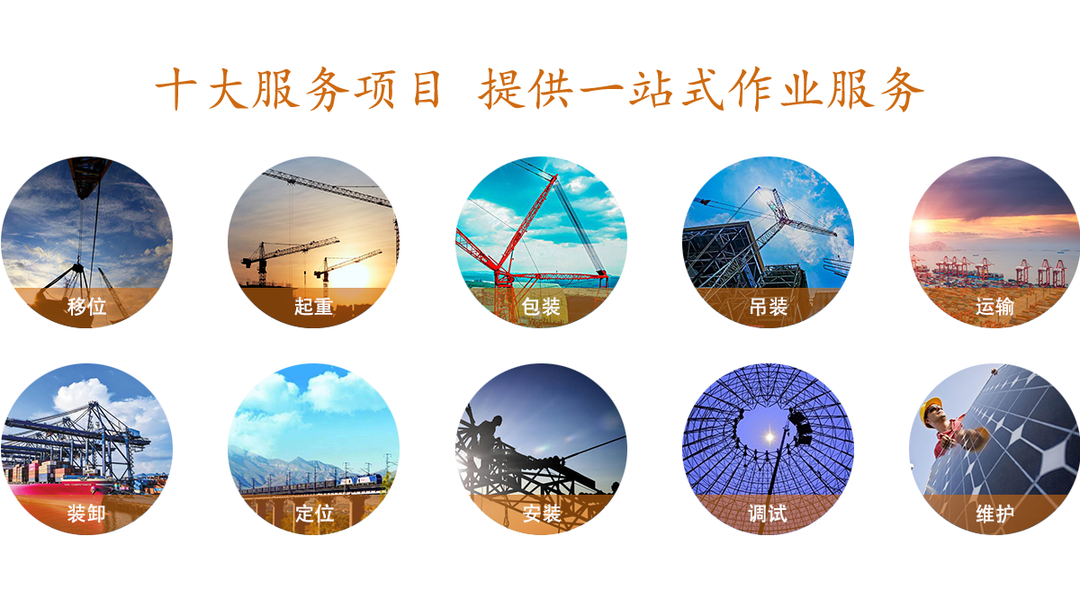
GRBC Rescue (4WN7)
Green Bay, WI
Field Elevation: 620
Lat: 44°28.28N  Long: 87°59.67W
CTAF/Unicom Freq: 122.8000
   
    
Weather Advisories
7/30/2010 00:10 Z
Altimeter 30.10" Hg
Wind 240° @ 0 KT
Gusts --
Visibility 10 SM
Temperature 26° C (79° F)
Dewpoint 14° C (57° F)
Relative Humidity 51%
Density Altitude 1,800 feet
Condensation Altitude 6,200 feet

 
DISCLAIMER: Weather readings shown on the Internet are advisory only.
  Wind and Runways
Indicated Runway = 27
History
 
 
More Info
All DigiWx sites map
Weather Radar
NOAA Forecast
 
Airport IQ 5010
(C04) Oceana County
(GRE) Greenville
 
about DigiWx
  METAR 4WN7 300010Z AUTO 24000KT 10SM 26/14 A3010


DigiWx

Recognizing the need for delivering real-time, mission critical weather information via a wireless transmission in a wide range of applications, Belfort launch its DigiWx™ product line in 2000. The initial focus for the DigiWx™ product is the aviation market – particularly venues that are not currently supported by costly government designed weather systems such as small public-use airports, heliports, seaplane bases, crop duster operations and private landing strips. Within these applications, DigiWx™ provides high quality, up-to-the-minute weather conditions to ground personnel and pilots through several media options resulting in enhanced aircraft/light safety and operational performance. Belfort has recently introduced significant enhancements to its DigiWx™ product such that real time, local weather information can be received automatically over standard UNICOM frequencies, telephone, the Internet, or on its well established handheld device.